
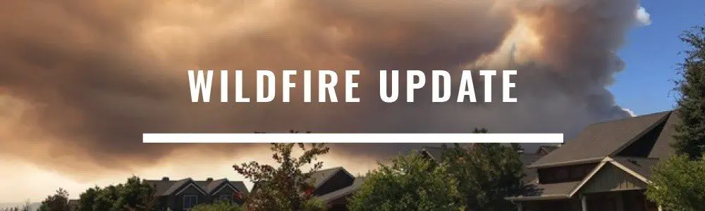
The Cram Fire burning on private land protected by Willowdale and Ashwood-Antelope Rangeland Fire Protection Association (RFPA) and Prineville BLM managed land originated near mile post 76 on Highway 97 at Willowdale but has grown to the south and east in gusty winds and dry conditions Monday, which has prompted an increase in evacuations around the fire.
Firefighters from the BLM, Oregon Department of Forestry and members of the RFPAs have been working on the west flank where dozers constructed fire lines around structures to prevent flames from impacting private residences and infrastructure, and to keep the fire east of Highway 97 and south Highway 293. However, gusty afternoon winds have pushed the fire south and east, and fire is now in the community of Ashwood, Oregon. All available engines were reprioritized from securing fire lines to focus on structure protection in the community of Ashwood and continue in front of the head of the fire while dozers continued strategic line construction. County and municipal fire departments from around Central Oregon have sent engines to help support structure protection work around homes and public infrastructure.
The governor has invoked a conflagration and mobilized the Oregon State Fire Marshal (OSFM) Green Team to join in unified command with a Central Oregon Type 3 Incident Management Team with an in-briefing of resources tonight. OSFM task forces will establish and maintain point protection in neighborhoods and communities where fire is established and provide structure protection mitigation to areas with expected fire activity. Wildland firefighters will be focused on supporting structure protection efforts and holding and securing critical fire lines.
Evacuations: The Jefferson and Wasco County Sheriffs have issued multiple evacuation orders as a result of the Cram Fire.
Jefferson: Level 3 GO NOW for Ashwood, NE 16 and NE 13; Level 2 BE READY for NE 15 and the east part of NE 14.
For site specific information, visit: https://tinyurl.com/
Wasco: Level 3 GO NOW for area east of Highway 97 and south of 293 and west of Upper Tub Spring Road to the Wasco/Jefferson County border; Level 2 BE READY for east of Upper Tub Spring Road, south of Highway 293 and Highway 218, including the City of Antelope west of Cold Camp Road to the Wasco/Jefferson County border; Level 1 BE READY for north of highway 293 and Indian Creek, west of Cold Camp Road, south of Highway 218 to John Day River to Wasco/Jefferson County border. For site specific information, visit: https://tinyurl.com/
The Cram Fire was mapped from the air at approximately 3:00 p.m. today at just over 2,300 acres but has grown considerably since that time. Without more accurate mapping, wildland fire managers assigned to the fire are maintaining their estimate from this morning that the Cram Fire is approximately 4,500 acres and is 0% contained. As soon as is practicable, fire managers will map the current fire perimeter and provide that product to the public.
Information on all fires in Central Oregon will be posted on the only official source for wildfire information in Central Oregon at centraloregonfire.org or on X/Twitter @CentralORfire.
Call 9-1-1 to report a wildfire. For smoke and air quality information visit fire.airnow.gov.
The Oregon State Fire Marshal is mobilizing resources to a fast-moving wildfire in Jefferson and Wasco counties. The Cram Fire, reported Sunday off Highway 97 at Willowdale, has grown to an estimated 10,000 acres, according to fire managers. On Monday, the Cram Fire was pushed by gusty winds and temperatures in the mid-90s prompting levels 1, 2, and 3 evacuation notices in both counties.
-0-
The Oregon State Fire Marshal is sending its Green Incident Management Team and four task forces to provide structure protection and additional help. The task forces are from Lane, Multnomah, Washington, and Yamhill counties.
“The next 24 hours will be extremely challenging for this fire with continued gusty, shifting winds and hot temperatures,” State Fire Marshal Mariana Ruiz-Temple said. “This is the sixth time the Emergency Conflagration Act has been invoked this summer and comes as a reminder that we need everyone’s help to stay wildfire aware and prevent new fire starts.”
Resources from the Willowdale and Ashland Rural Fire Protection Associations, the Bureau of Land Management, and the Oregon Department of Forestry are actively working to stop the fire.
For evacuation information:
- Jefferson County: https://tinyurl.com/
JCSOEvacMap
Drivers are asked to slow down and follow all signs from the Oregon Department of Transportation along Highway 97. Fire crews are using the highway for active firefighting, and smoke may reduce visibility.